Lessons Learned: Deploying UAVs for Volcano Eruption Response
Posted by Joan Quintana on Jun 11, 2018 at 10:30 pm America/Chicago
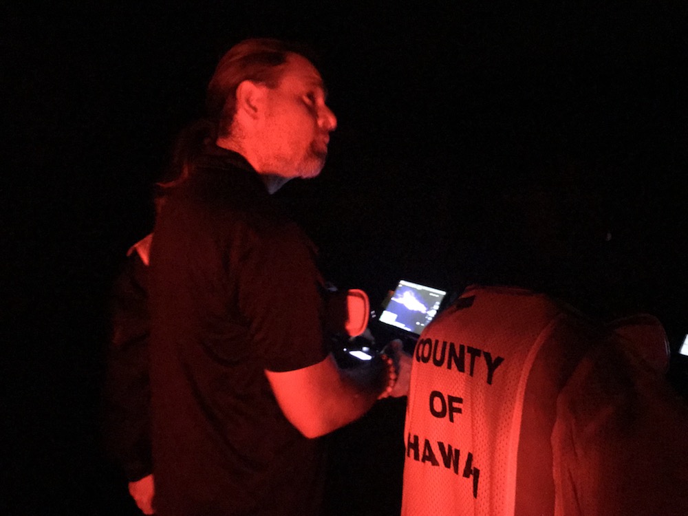
Having recently supported the response to Hawaii volcano eruption at Kilauea Volcano Lower East Rift Zone, we offer the following insights and lessons learned regarding use of UAVs for volcano eruption response.
Night flights of UAVs are very effective.Manned aviation generally cannot fly at night, meaning responders are essentially blind for 8-12 hours. But UAVs can fly at night. There are no challenges coordinating with manned aircraft since they are not flying, and it is easier to keep the UAV in visible line of sight.
Rotorcraft UAVs can effectively sample gas.We used the Flymotion stinger attachment to carry a four-gas meter and map the Kilauea plume. Caution: If your UAV isn’t designed for attaching payloads, it may be unstable and crash.
Rotorcraft UAVs with thermal sensors are very effective.Rotorcraft UAVs with thermal sensors are particularly effectivefor determining new lava flows from old flows and for seeing at night. We found the DJI Zenmuse XT2 to be particularly useful. It produces radiometric jpgs where the pixel value is the temperature.
Rotorcraft UAVs provide a quick look at lava flow rates.Rotorcraft UAVs provide a quick means of determining how fast lava is moving. Fly the UAV with a nadir view to the edge of the lava, get the GPS coordinate, repeat in a few minutes, do the math.
Plumes will interfere with photogrammetric mapping.Plumes will interfere with photogrammetric mapping. Expect errors, lower visibility, and failed stitches.
Hanger 360 rapidly produced panoramas.Hanger 360 rapidly produced panoramas without flying over property or people. Even better, the panorama resides in the web so responders don’t have to have download apps or have a special mouse to move through the image. And, they can easily email or text url to others.
Tags
- alpha geek
- asimov
- caterpillars
- collaboration
- cologne
- delft
- disaster reponse
- disaster response
- earthquake
- ethics
- firefighting
- ft hood
- Haiti Earthquake
- hawaii volcano
- Kobe Earthquake
- public safety
- rescue robots
- robocup
- robotics
- robotics rodeo
- snakes
- uav
- ugv
- UMV
- volcano eruption
- wired
- World Trade Center
Archives
- December 2022
- September 2018
- August 2018
- June 2018
- May 2018
- April 2018
- January 2018
- December 2017
- September 2017
- August 2017
- May 2017
- April 2017
- March 2017
- November 2016
- October 2016
- September 2016
- August 2016
- June 2016
- April 2016
- March 2016
- February 2016
- January 2016
- December 2015
- November 2015
- October 2015
- September 2015
- August 2015
- July 2015
- June 2015
- May 2015
- April 2015
- March 2015
- February 2015
- January 2015
- December 2014
- November 2014
- October 2014
- September 2014
- August 2014
- July 2014
- June 2014
- May 2014
- April 2014
- March 2014
- February 2014
- December 2013
- November 2013
- October 2013
- September 2013
- August 2013
- July 2013
- June 2013
- May 2013
- April 2013
- March 2013
- February 2013
- January 2013
- December 2012
- November 2012
- October 2012
- September 2012
- August 2012
- July 2012
- June 2012
- May 2012
- April 2012
- March 2012
- January 2012
- December 2011
- November 2011
- October 2011
- August 2011
- June 2011
- May 2011
- April 2011
- March 2011
- February 2011
- January 2011
- December 2010
- November 2010
- October 2010
- September 2010
- July 2010
- May 2010
- April 2010
- February 2010
- January 2010
- September 2009
- August 2009
- July 2009
- June 2009
- April 2009
- March 2009
Our Sponsors
