FOR IMMEDIATE RELEASE
June 11, 2018
CONTACT:
Joan Quintana
email: press@crasar.org
phone: 979-324-2247
VOLUNTEER RESPONDERS USE ROBOTS AND NEW MAPPING TECHNOLOGIES TO SAVE LIVES AND PROPERTY IN HAWAII VOLCANO ERUPTION
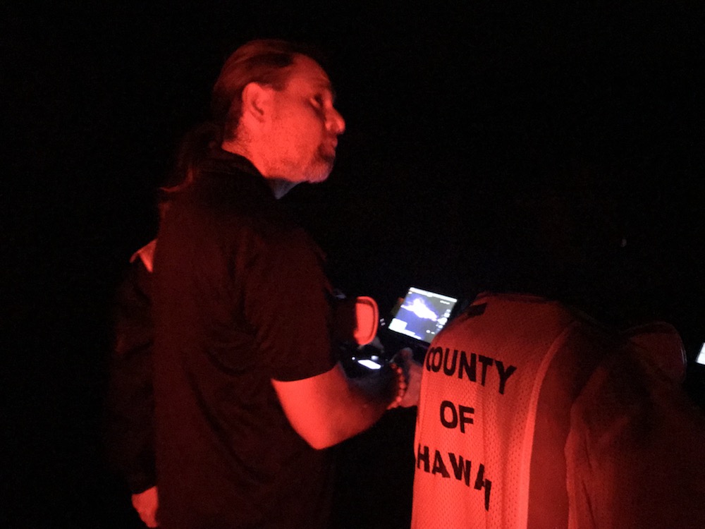
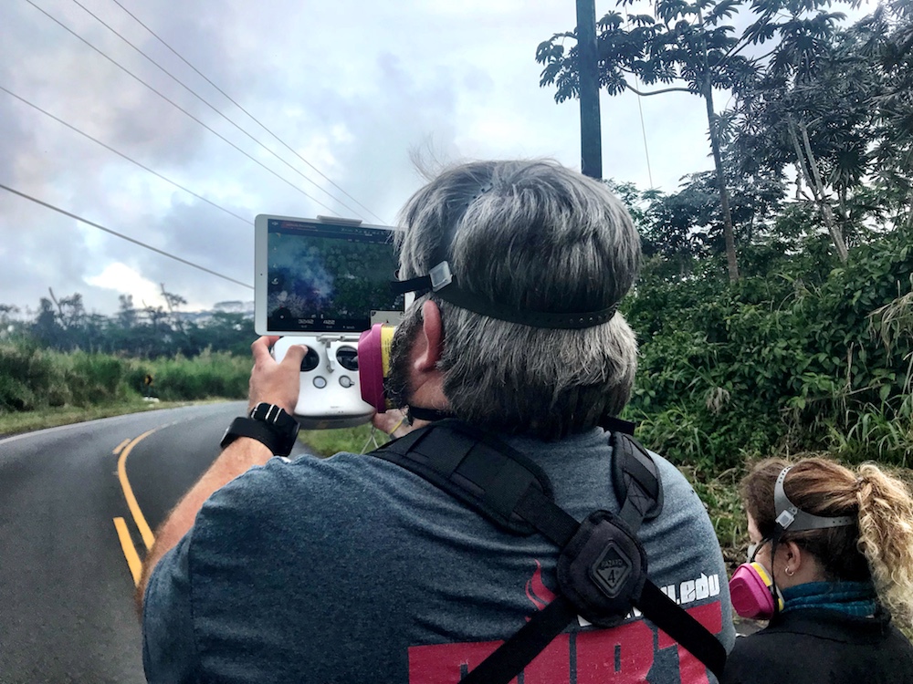
A team of five volunteers armed with drones, advanced sensor systems, and GIS technologies joined the response effort at Kilauea Volcano Lower East Rift Zone to assist in tracking and predicting the on-going volcanic eruption. Using small unmanned aerial systems (sUAS) together with air-quality sensors, advanced imaging tools, and Esri’s spatial analytics and mapping, the team from the Center for Robot-Assisted Search and Rescue (CRASAR) provided real-time aerial views of the eruption. The CRASAR team identified a new fissure not visible from the ground, projected the lava flow rate during the night when manned helicopters were not allowed to fly, and provided ongoing data collection from new thermal sensors technology. The CRASAR response marks the first known use of sUAS for emergency response to a volcanic eruption and first known use of sUAS for sampling air quality. The CRASAR team provided Hilo Fire Department and the Civil Defense with live streaming of video from the sUAS over the new FirstNet cellular network.
“This latest CRASAR mission is another example of dedicated volunteers working together with private sector partners to deploy technology to save lives and property when disaster strikes,” said CRASAR Director and disaster robotics expert Dr. Robin Murphy. “With support from technology partners like Esri, Hangar Technologies, RemoteGeo and RMUS, we are able to both respond to active disasters but also demonstrate to the first responder community best practices and benefits of engaging robots and other technologies in disaster response.”
CRASAR supported tactical response operations at the Leilani, Hawaii eruption event from May 14-19, 2018, supplementing the University of Hawaii Hilo’s (UHH) sUAS capabilities and allowing UHH sUAS operators to focus on geographical and volcanology. The CRASAR response team included sUAS pilots Justin Adams of Constellation Consulting Group, David Merrick and Laura Hart of Florida State University Center for Disaster Risk Policy, Jon McBride of Rocky Mountain Unmanned Systems, and Robin Murphy of Texas A&M University. Funding was provided in part through research grants from an insurance partner and the National Science Foundation.
During the six-day Leilani deployment, the CRASAR team flew 44 sUAS flights, including 16 at night, using DJI 200, 210, Inspire, and Mavic Pro drones. Esri’s Drone2Map for ArcGIS together with Hangar’s Enterprise Platform for 360-degree imaging enabled rapid 360-imaging for situational awareness. DJI’s new XT2 thermal sensor provided unprecedented drone-based air-quality monitoring. Video and data were shared with local first responders using FirstNet, the first high-speed, nationwide wireless broadband network dedicated to public safety.
“This eruption is especially impactful because of its location,” said Esri’s Public Safety Lead, Ryan Lanclos. “That makes the CRASAR’s use of drones and mapping technologies, and the near real-time situational awareness it provides of people, homes, businesses, and infrastructure during this disaster, a resource first responders will be able to turn to time and again.”
CRASAR’s deployment to Hawaii marked a number of firsts for technology applied to disaster response. To interact with the same GIS mapping and imaging technologies responders used on the scene at Kilauea Volcano Lower East Rift Zone, visit http://bit.ly/CRASARhawaii.
ABOUT CRASAR
CRASAR is a nonprofit corporation organized to foster unmanned systems being effectively used by formal emergency management agencies through voluntary national and international activities that deploy, promote, train, document, analyze, and disseminate scientific knowledge.
http://crasar.org/ CRASAR was established in 2001 and has provided unmanned systems and expertise to 29 disasters in 5 countries including the 9/11 World Trade, Hurricane Katrina, Fukushima Daiichi Nuclear Accident, and Hurricane’s Harvey, Irma and Maria. It was recently part of the Texas A&M Engineering Experiment Station but has spun off as a nonprofit.
###


