These are some of the lessons learned by the CRASAR deployments to to Hurricane Maria (J. Adams, lead) and Oso Mudslides (R. Murphy, lead), and from outbriefs of the 2018 Northern Kyushu Heavy Rain Flood in Japan. It is a special case of the just-in-time best practice guides for flooding at https://www.crasar.org/wp-content/uploads/2018/06/best-practices-SUAS-Floods-2018.pdf
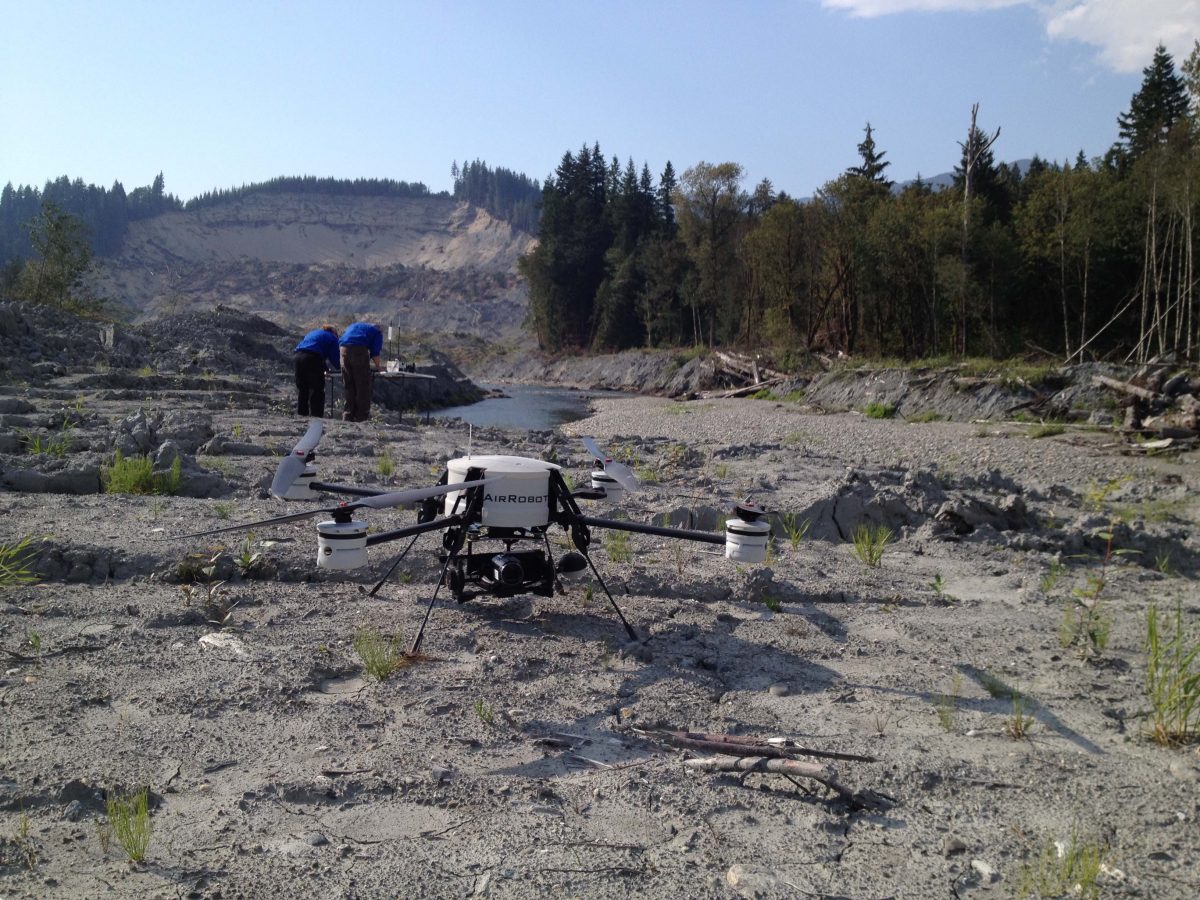
In rural and mountainous areas, UAS are typically used for reconnaissance of areas that can’t be reached by road (or road is blocked) or rural areas where manned assets are not in use, assessment of where the water is and how fast it is flowing, determining transportation routes, and overwatch of swift water rescue, What makes rural and mountainous areas different is the lack of access (less roads, open spots), trees, and the difficult terrain.
Here are some notes about flying:
- UAS can’t fly in heavy rain and fog, sometimes you just have to wait
- UAS can fly directly to houses or villages on mountains or in valleys, providing rapid access
- A strategy is to fly UAS along the centerline of the roads. The UAS can get a quick assessment as houses, shops, buildings tend to be near roads. Unlike just driving by in a ground vehicle (which be useful, see the GroundVu system), it can be very useful to be able to see behind the houses, where there could be damage or signs that people were still there. Along the way, the UAS can check the state of roads to remote areas, like has it washed away. Plus flying the centerline avoids unexpected tall trees and power lines which seem to come out of nowhere!
Be aware that:
- BVLOS flying can be challenging as maps don’t always show power lines, really tall trees, or other structures especially in undulating terrain; a topological elevation map isn’t sufficient
- While manned aviation in rural and remote areas is likely to be less dense than near metropolitan areas, it may still be present so aerial safety is important
- Mapping will generate massive amounts of data that have to be managed and post-processed; it is useful to create a picture of kilometers of road but worthless if there is not bandwidth or software on a computer that can rapidly process the data
- Fixed wings typically present problems for staying at the AGL maximum in mountainous terrain, though new terrain sensitive planners are becoming available
